Stage seven - Dursley to Wotton under Edge
Back on the trail
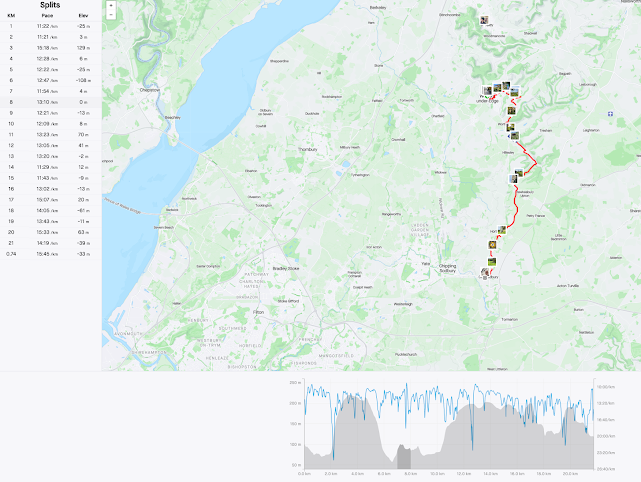
After a long break of some three months we were pleased to once again be back on the trail. Once again and for the second time we were privileged to have number one son with us on part seven. Logistics are still manageable at this range and so our plan for this stage was; drive to the start of the route, walk, then retrieve by bus. Since I had a prior arrangement in the evening, we needed to make it reasonably short, so Dursley to Wotton at approximately eight miles seemed doable. Checks for bus times complete, we set off to the start point and parked in Long Street car park in Dursley, the bonus surprise being parking is free up to 23 hours.
Soon we were off once again and not long after making our way through the main shopping street were heading up May lane, past the Old Spot inn and up Hill road. From here the trail leaves the road and climbs up through the leafy apth to the top of the hill and opens out onto Stinchcombe golf club, set on high ground.
Next the walker has the choice of cutting across the fairway and shortening the route by a mile or so, or taking in the whole path around the club grounds. We chose the latter. The route leads in a couter-clockwise direction, offering the occasional view out over the Severn valley as you go. We stopped periodically to take some photos as we went.
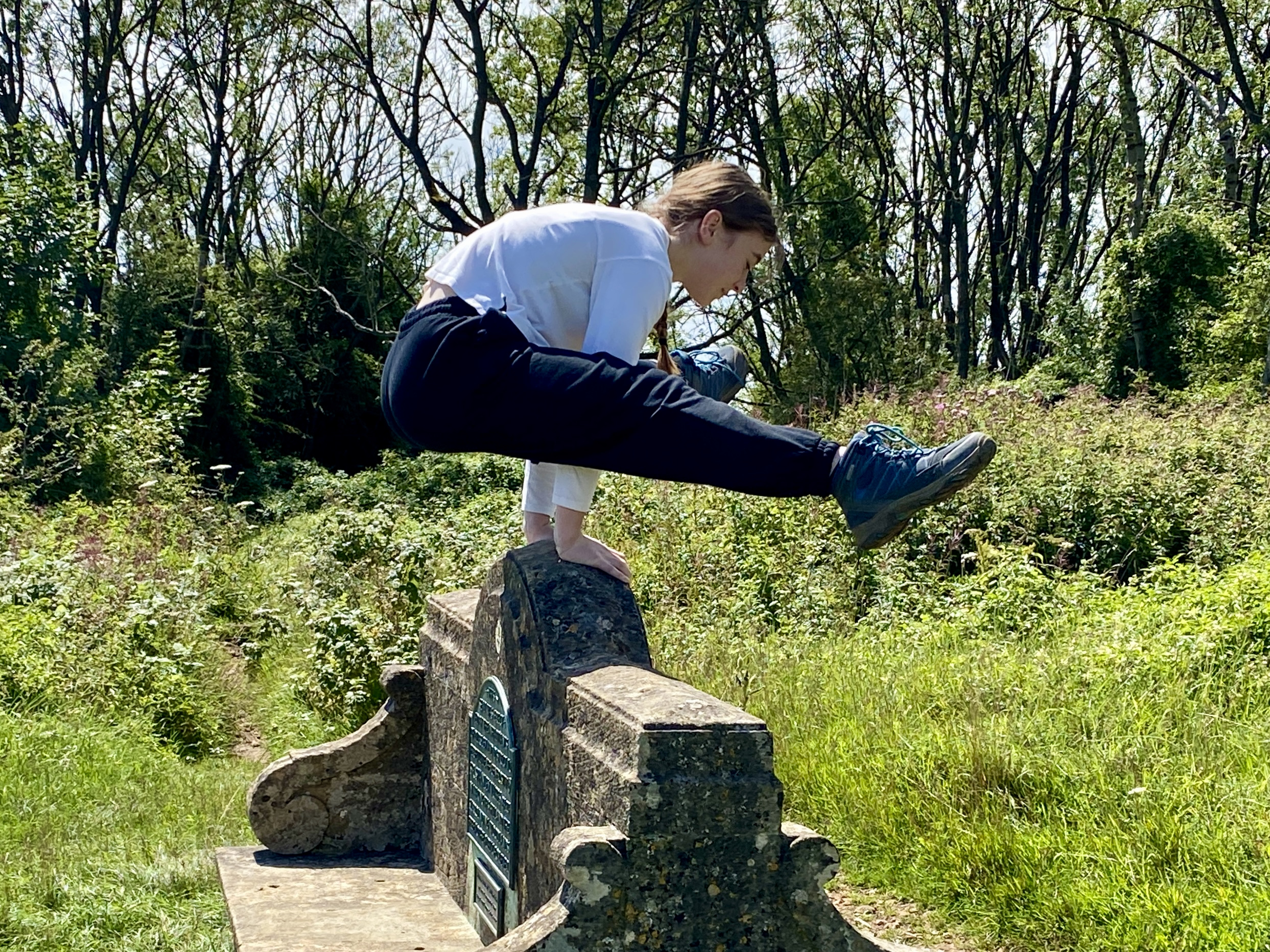
At the southern end of the club's grounds, there are a number of curios, such as a topograph table and a stone bench dedicated to the people of Dursley and Stanley Tubbs Bart.
The path now skirts the southern end of the hill, affording views to the south and the next quarry; Nibley Knoll and the Tynedale memorial. The route to get there takes you down through woods to the southwest of the escarpment, across rolling fields and finally arriving at the vilage of North Nibley, which is dominated by the hill and its monument commemorating William Tynedale.
There had been a strong breeze blowing all afternoon and it could really be felt here at the top of the 'Knoll', actually a significantly high feature with commanding views throughout the south, through west to north aspects. From here the course of the Cotswold Way progresses, snaking first south, then east and south again to arrive at the southern knoll of Wotton Hill. Here, a walled enclosure protects a plantation replacing the original one, planted to celebrate victory at the battle of Waterloo in 1815. The plaque tells how the later plantation was installed to commemorate the Jubilee of Queen Victoria in 1887. These share a commanding view over the town of Wotton under Edge below.
From here it is a fairly steep descent to the south to the town of Wotton, where our journey today ended. We took the opportunity, in the fifty minutes we had before our bus departed, to get a bite to eat from a local bakery and a drink in the bar of the Falcon steakhouse. Very refreshing it was too!
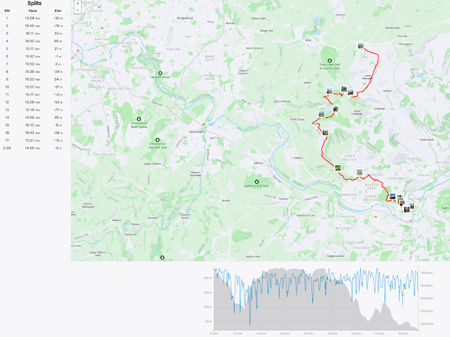
Next time around, we will be heading from Wotton, south through Synwell and Alderley to Hawksbury Upton and possibly a little beyond.


Comments
Post a Comment